Madison River Flows
Madison River Flows


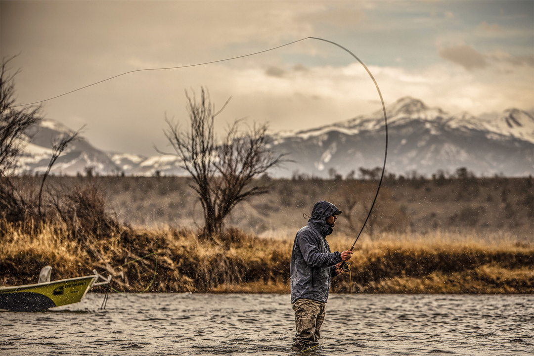
Named by Lewis & Clark after Thomas Jefferson's Secretary of State, the Madison River is one of Montana's most iconic and beloved Trout streams. It begins with the confluence of the Gibbon and the Firehole rivers 14 miles inside the Northwest corner of Yellowstone National Park. It then flows almost due north for 120 miles to its ultimate confluence with the Jefferson from the West and the Gallatin from the east to form the Headwaters of the Missouri River. And one of the most awesome things about the Madison River, in addition to the stunning natural beauty of its surroundings is that it is completely infested with wild trout throughout its entire course!
The upper-most stretch of the Madison from its inception to Hebgen Lake is largely in Yellowstone Park, and is a unique stream unto itself. Then there is a short 3 mile stretch of river "between the lakes." A 1959 earthquake caused a giant rockslide that created a natural dam in the Madison and formed Earthquake Lake. Below Quake Lake the river runs for 50 miles to Ennis Lake just a few miles downstream from the little town of Ennis. This stretch is most commonly referred to as the "Upper Madison" although as you now know that is somewhat of a misnomer. Technically this is the Middle Madison. This wonderful stretch of the river is also called the "50 Mile Riffle" because of it's unique nature. Below Ennis Lake the "Lower Madison" flows through the Bear Trap Canyon for about 9 miles before the canyon gives way to an open, pastoral valley all the way to Three Forks, Montana where it joins up with the Jefferson and Gallatin Rivers.
Check the Madison River Fishing Report for firsthand accounts from our anglers in the field.
Graphs provided by the United States Geological Survey.